ENVIRONMENT & COMMUNITY · GOLD COAST
Gold Coast Releases Updated Natural Hazard Maps
Published · Cenlocal summary
New City of Gold Coast mapping shows areas at risk of landslides, bushfires, storm tides and floods.
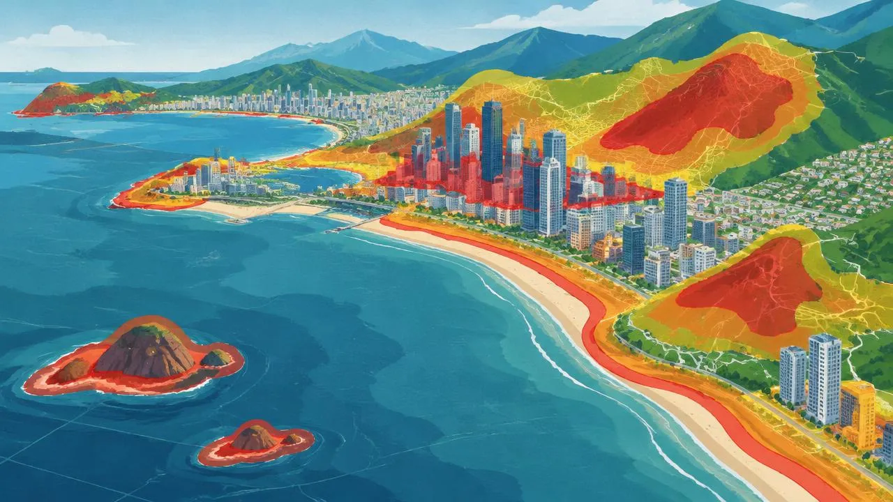
The City of Gold Coast has published updated maps highlighting areas at risk of natural hazards.
Council's lifestyle, environment and resilience committee endorsed the maps, which cover landslides, bushfires, storm tides and floods. Committee chair Glenn Tozer said the maps are designed to help residents understand disaster risks, not to set insurance premiums.
Insurance questions
The Insurance Council of Australia said it was too early to know whether the new mapping would affect premiums, noting insurers use several sources, including council maps, to assess properties.
Planning for growth
The ABC reports the maps sit alongside flood maps released in 2022 and come as the city considers how to build more homes while managing growing climate risks along the coast.
Residents and property owners can view the hazard maps through the City of Gold Coast.
Found this useful? Share it with someone.
Sources & Further Reading
This is an original Cenlocal summary. Cenlocal is not the original reporter; facts are attributed to the sources below.